
As I cruised out from Taranaki, I
reflected on the similarities with my departure from Milford Sound
four years ago... Just like in Fiordland, the folk at Taranaki were
so welcoming and seemed to bend over backwards to assist me – there
were few yachties that stopped into Taranaki each year, normally when
repairs were required. When I had arrived into Taranaki, I was told
that the weather was uncharacteristically windy – 10 metre waves on
the Sunday two days before I arrived which had washed a several
hundred tonne wave buoy onto the rocky beack within the port
(similarities with the fishermen in Stewart Island who had said the
“weather was broken” when I arrived), and now as when I left
Milford there was a large high forming and a forecast of settled
weather with light southerlies to take me up the coast. And I also
had a mountain to watch as it disappeared beyond the horizon – not
Mitre Peak but Mt Egmont/Taranaki – I was 10 hours out of Taranaki
before Mt Taranaki finally disappeared from view.

Three hours out from Taranaki and the
forecast south west wind picked up to a pleasant 15 knots so I could
switch off the engine and settle into a very pleasant day of sailing.
With my intended straight line to Cape Reinga, I was going to be at
least 50 miles off shore, which Maritime Radio had said would push
the limits of their VHF coverage, so if needs be I would make my
scheduled calls using the satellite phone. As I was heading out from
Taranaki, I checked the distances if I altered my heading to stick to
within 35 miles of land – it would take me only about 1-2 hours
longer, and with guaranteed VHF coverage I would easily be able to
make my scheduled calls and get weather updates, without costly calls
via the sat phone. And so I altered my heading to due north.
I didn't see a single other boat on my
first day after I had left the Taranaki fishermen behind, until close
to sunset when I sailed into the vicinity of where a number of
fishing boats were working – probably the fishing fleet from Kawhia
or Raglan that were out tuna fishing. There were several lights of
fishing boats around me with their anchor lights on, and the wind had
died out completely so at 11pm I also turned in for a few hours sleep
with my anchor light on. The fishing boats probably had their sea
anchors out, but I left Honey to drift with mainsail flapping in the
swell so I got out to check every hour to be sure I was not going to
drift into any fishing boat. By 5am I decided to get on my way again,
and with no wind I fired up the engine and carried on heading due
north. The forecast had now eased to variable 10 knots, so I was
concerned at this rate that it may be a motoring trip and I could run
low on fuel.

Sunset, with a fishing boat just visible on the horizon
My second morning was a very pleasant
one, albeit glassy calm as I motored up the west coast. As I
approached offshore Manukau, I started picking up several of the
calls on VHF channel 16. It was Auckland /Northland Anniversary
weekend, and with beautiful weather there were obviously a lot of
boats out and about around Auckland. Although I didn't see any being
20 miles offshore, Maritime Radio seemed to have a very busy day
responding to multiple 'Mayday' and 'Panpan' calls.
By 12.30pm the wind started to fill in
and I switched off the engine to settle into an afternoon of relaxed
sailing. The wind gradually picked up to about 15 knots from the
south west and the heads of Manukau which had been visible in the
distance disappeared and more of the western coastline took its
place. By 5pm I had closed to within 15 miles of the shoreline, and
altered my course to 330 degrees (true) to follow the line of the
coast. When the sun set I was directly off Kaipara Harbour, and the
wide opening to the harbour was clearly visible out to sea. The winds
eased after sunset but they didn't die out completely, so I was able
to sail on through the night at about 4 knots, with the glow of
Auckland disappearing behind me and the glow of Dargaville
brightening to starboard. I had seen no boats or ships since I had
left the fishing fleet behind after the previous night, so I was
confident to stretch my sleeps out to 30 minutes in between popping
my head up to check on my whereabouts and that no other boats were
around. Around 4am my new (replacement) autohelm gave up working –
I thought perhaps the battery voltage had dropped too low, so I
started the engine and motor sailed for an hour. With the autohelm
still not working I got out my trusty back-up, the ST1000, which was
able to work easily in these calm conditions, cut the engine at 5am
and sailed at about 3 knots in dying winds. The wind had completely
died out by 7am, so I switched the engine back on and motored up the
coast.
It was getting noticeably warmer each
day as I headed north – Taranaki is at approx 39 degrees latitude
and I had now passed 36 degrees latitude – and although the winds
were from the same direction I had fewer layers on in the evenings
and night. A lot of people have asked what I do when I'm out sailing
for days on end. Unlike my sail from Port Hardy to Taranaki, this was
an easy relaxed sail up the coast, so I had plenty of time on my
hands – Honey did most of the work with me just checking and
monitoring progress and sails as needed. I spent a lot of time
reading, and for a whole day I didn't need to get up onto the deck to
attend to anything (I am able to reef the main from the cockpit and
with a furling headsail I can also operate this from the cockpit, but
invariably something gets tangled necessitating getting out onto the
deck). My world existed between Honey's cabin and cockpit, and the
beautiful sea and sky views around. With the settled weather, came
beautiful starry nights and the hint of a new moon that disappeared
soon after sunset. The Milky Way and its clouds of stars were fully
visible and I saw many shooting stars – when I was looking I could
see these about every 5 minutes – just stunning! I didn't put out
my fishing rod – in hindsight, I probably should have done this
when I was close to the fishing fleet – instead choosing to enjoy
the sailing and weather and relax.
By 1pm on the third day out from
Taranaki, I was off the coast from Hokianga Harbour and had Tauroa
Point in view. Tauroa Point is at the south end of Ninety Mile Beach,
and marks the edge of Ahipara Bay which is the only place on the west
coast that I could consider stopping in at. The remainder of the
harbours on the west coast are all bar harbours, requiring local
knowledge (and local guidance to enter) and are notoriously
dangerous. The wind picked up to about 10 knots from the south and I
cut the engine with the sails set to gull-wing (the main out one side
and the genoa out the other), as I closed into Tauroa Point. There is
a 0.5 knot current that sets to the north west off Tauroa Point and
as I got closer, to within 4 miles of the coast, this current added
noticeably to Honey's speed. At 7pm I passed Tauroa Point and Ninety
Mile Beach opened up. There is very little to see of Ninety Mile
Beach and the coastline from out at sea – the coast is very low
lying with the odd, presumably sand hill, visible. I changed my
heading to 320 degrees true, to ensure I stayed about 12 miles off
the coast, and sailed until about 2am taking little catnaps, and my
speed gradually reducing as the wind died again.

Tauroa Point with Ahipara settlement and the sand hills beind
I was keen to round Cape Maria van
Diemen and Cape Reinga at first light – both so I could actually
see this beautiful bit of our coastline at sunrise, and also to round
before the tidal currents run at their maximum (which is 2.5-3 knots,
and is against the direction we are heading). With the wind dying, I
started the engine and motored towards Cape Maria van Diemen, the
lights of both capes clearly visible. The night was so calm – I
passed inside of Pandora Banks – no breaking sea in sight and with
very little swell I think I could have passed right over Pandora
Banks with no mishap althought I obviously didn't want to risk it.
(Pandora Banks have a depth of 6m and the sea often breaks, with
recommendations to pass at least 2 miles to the west of the bank in
adverse weather). The sea was glassy calm and with the starlit night
it was beautiful – the stars reflected in the sea so it was starry
all around – it felt like Honey and I were sailing through the
universe – magic!!
By 6am I was off the coast from Cape
Maria van Diemen and I cut the engine and drifted with the favourable
tide, waiting for the sun to rise. It was a beautiful sunrise over
this spectacular part of our country, and I proceeded to motor around
both Cape Maria van Dieman and Cape Reinga, staying about 3-4 miles
offshore to avoid the worst of the tidal eddies given the tide had
now turned and was running against us. The Three Kings Islands were
visible in the distance off to the port side, and I was tempted to
turn tracks and head out there for an explore until the tides
changed. The Three Kings are about 30 miles off the coast from Cape
Reinga, so just getting there and back was about 12 hours motoring,
which would mean it would be dark when I got back to the northern
coast – I decided to push on around the northern coast. The
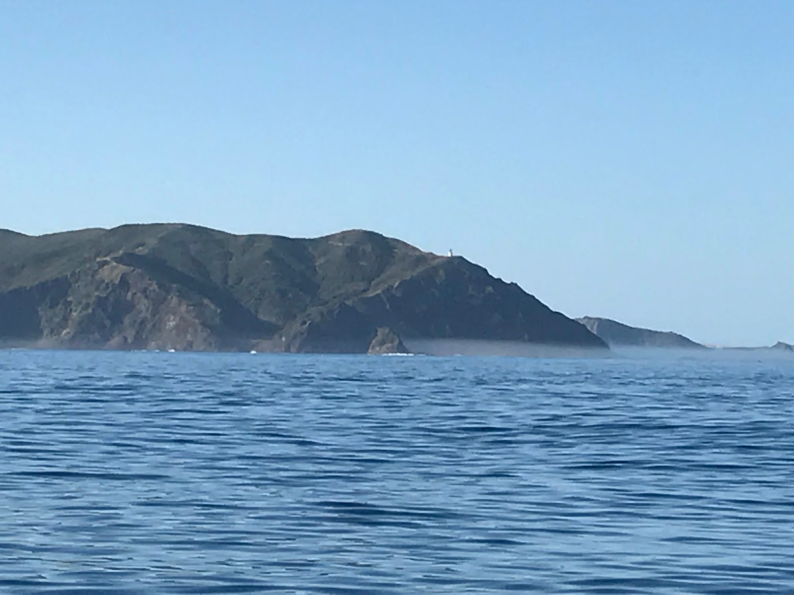
breaking seas of Columbia Banks and Cape Reinga lighthouse with the
glints of tourists vehicles visiting, were clearly visible as I went
past, as was the beautiful rugged coastline. The sea was still glassy
calm with slight eddies, and I watched as birds and flying fish flew
just above the sea. It was early in the day and becoming very hot.
Wow, it really felt like I had made it into the sub-tropics!


Heading towards Spirits Bay
I motored at about 3.5 knots, the tide
against us, in towards Spirits Bay – a bay that Chris and Tess had
visited two weeks prior and recommended it as being worth a stop at.
The cruising guide recommended anchoring in a small cove between
Panache Islet and Hooper Point, at the north eastern end of the beach
at Spirits Bay. Honey and I made our way past the swells that were
breaking on the rocks either side of the entrance to the bay, and we
dropped the pick inside the beautiful little cove. This gave me an
opportunity to have a quick swim, a tidy up and a spot of lunch
before heading on again. Spirits Bay seems like a popular
destination, and there were people walking along the hills, swimming
off the beach and someone fishing off Panache Islet (that is
accessible by foot at low tide).


Very interesting Emily. I feel like I'm sailing along with you minus the sea sickness. So much more comfortable in my armchair. You certainly enjoy a watery challenge. Julie
ReplyDelete